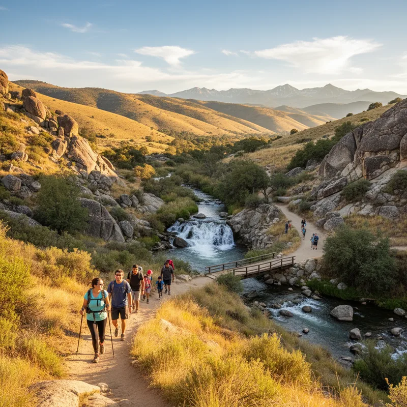
California is big enough to hold whole worlds of hiking. You can walk beneath 300-foot redwoods in the morning, scramble up a granite dome by afternoon, then watch the sun drop behind desert dunes on the same long weekend. But with thousands of trails, planning can feel like a second job, especially if you are trying to match scenery to your fitness level, travel time, and the reality of permits, seasonal road closures, and wildfire impacts.
This guide curates 15 of the state’s most scenic, crowd-pleasing hikes, from short family loops to bucket-list summit pushes. For each, we include where to start, how hard it feels for most hikers, what makes it special, and the practical details that help you actually pull it off, like fees, typical hours, and when to go. Conditions change fast in California, so we also link to official park pages where you can confirm current trail status, reservations, and alerts before you leave home.
If you are pairing hiking with a camping trip, our list complements this roundup of California’s best campgrounds</a>. Wine country hikers can also build a post-trail itinerary around California’s best wineries</a>. And if you are heading to Sonoma County, keep an eye on how fast the region is changing, including this report on a tech entrepreneur’s planned utopian village</a>. For those considering a move to the coast, check out this guide to Moving to San Diego</a>.
Best easy scenic hikes in California (great for families and first-timers)
These hikes keep the mileage modest and the navigation simple, while still delivering that “only in California” scenery. They are also some of the best picks if you are travelling with kids, visiting with out-of-town guests, or easing back into hiking.
- Fern Canyon loop, Prairie Creek Redwoods State Park (Orick), easy, about 1 mile. Why go: a narrow canyon walled with dripping ferns and creek crossings. Trailhead: Fern Canyon Trailhead, Davison Road, Orick, CA 95555. Fees/hours: day-use parking typically applies in the area, parks are generally open daily. Pro tip: after rain, expect wet feet and occasional vehicle water crossings to reach the lot. More background appears in CaliforniaThroughMyLens’ writeup.
- Stout Memorial Grove Trail, Jedediah Smith Redwoods State Park (near Crescent City), easy, about 1 mile loop. Why go: one of the most photogenic, accessible old-growth redwood groves. Trailhead: Stout Grove Trailhead off Howland Hill Road, near Crescent City, CA 95531. Fees/hours: day-use parking fee may apply. Plan for: limited parking, go early on weekends.
- Congress Trail, Sequoia National Park (Giant Forest), easy to moderate, about 2 to 3 miles depending on route. Why go: a concentrated walk among colossal sequoias, including the House and Senate groups. Trailhead: near General Sherman Tree parking area, Sequoia National Park, CA. Fees/hours: national park entrance fee (private vehicle) is typically $35, park open 24 hours, conditions vary seasonally. Check NPS Sequoia and Kings Canyon for current access.
- Lands End Trail, San Francisco, easy, about 3 to 3.5 miles out-and-back or loop variations. Why go: coastal bluffs, Golden Gate views, cypress groves, and the Sutro Baths ruins. Trailhead: Lands End Lookout and Visitor Center, 680 Point Lobos Ave, San Francisco, CA 94121. Hours: trails are generally open daily, visitor centre hours vary. Cost: free.
Best coastal hikes in California with ocean views
For many Californians, “scenic” means ocean. These trails deliver headlands, sea stacks, coves, and that cool marine layer that makes summer hikes feel possible even when inland valleys are baking.
- Ewoldsen Trail, Julia Pfeiffer Burns State Park (Big Sur), moderate, about 4 to 5 miles with roughly 450 m of climbing (about 1,500 feet). Why go: redwoods and oak woodland that open onto a sweeping Big Sur coastline viewpoint. Trailhead: Julia Pfeiffer Burns State Park, 52801 CA-1, Big Sur, CA 93920. Fees/hours: day-use parking fee is typically charged, park generally open daily 8 am to sunset. Confirm at California State Parks.
- Point Lobos Loop, Point Lobos State Natural Reserve (Carmel-by-the-Sea), easy, about 6 km (4 miles) if you connect the best segments. Why go: cypress groves, rocky coves, and consistent wildlife sightings, including sea otters offshore. Address: 62 CA-1, Carmel-By-The-Sea, CA 93923. Fees/hours: vehicle day-use fee typically applies, reserve is generally open 8 am to 5 pm.
- Potato Harbor trail, Channel Islands National Park (Santa Cruz Island), moderate, about 8 km (5 miles) loop. Why go: jaw-dropping turquoise coves and cliffs that feel like the Mediterranean. Trailhead: Scorpion Ranch area, Santa Cruz Island. Fees/hours: national park is open 24 hours, access requires ferry. Plan via NPS Channel Islands.
- Steep Ravine, Dipsea and Matt Davis loop, Mount Tamalpais State Park (Marin), moderate to hard, about 11 to 13 km (7 to 8 miles). Why go: redwood-shaded ravines, creeks, and classic Marin coastal views. Trailhead: Pantoll Ranger Station area, 801 Panoramic Hwy, Mill Valley, CA 94941. Fees/hours: day-use parking fees apply, park generally open 7 am to sunset.
Best Yosemite hikes for waterfalls and granite views
Yosemite’s greatest hits are popular for a reason. If you can time your visit for spring run-off, the waterfall hikes feel like standing beside a living engine. Summer brings drier trails and longer days, plus the trade-off of bigger crowds.
- Taft Point, Yosemite National Park, easy to moderate, about 3.5 km (2.2 miles) round trip. Why go: sheer cliff views over Yosemite Valley and the famous fissures near the point. Trailhead: Taft Point Trailhead off Glacier Point Road, Yosemite National Park, CA 95389. Fees/hours: Yosemite entrance fee typically $35 per vehicle, park open 24 hours. Glacier Point Road is seasonal. Check NPS Yosemite.
- Sentinel Dome, Yosemite National Park, easy, about 3.5 km (2.2 miles) round trip. Why go: 360-degree panorama with less effort than many Yosemite viewpoints. Trailhead: Sentinel Dome Trailhead off Glacier Point Road. Best season: when Glacier Point Road is open.
- Vernal and Nevada Falls via the Mist Trail, hard for many hikers due to steep stone steps, about 10.8 km (6.7 miles) round trip. Why go: you hike close enough to feel the spray in peak flow. Trailhead: Happy Isles, Yosemite Valley. Pro tip: start early to avoid afternoon heat and congestion. This is consistently ranked among the state’s top trails on AllTrails.
- Half Dome (permit required for cables), very hard, about 22 to 27 km (14 to 17 miles) round trip depending on route. Why go: the iconic summit experience, plus Nevada Falls on the way. Permits: cable route permits are issued by lottery, and can be a trip-maker. Plan: even if you do not get a permit, hiking to the sub-dome is still a big day with huge views.
Best high Sierra hikes for alpine lakes and big mountain scenery
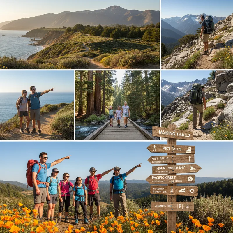
If you want that electric blue lake water, granite basins, and crisp air, head for the Sierra. Most of these hikes are best from late spring through early fall, depending on snowpack and road openings.
- Eagle Lake and Eagle Falls, near Emerald Bay (Lake Tahoe), moderate, about 3 km (2 miles) round trip to Eagle Lake, longer if you add viewpoints. Why go: dramatic granite, waterfalls early season, and a lake-and-peak panorama that feels far bigger than the mileage. Trailhead: Eagle Falls Trailhead, across from Emerald Bay State Park, near 138 Emerald Bay Rd, South Lake Tahoe, CA 96150. Fees/hours: parking fees apply, arrive early in summer.
- Lembert Dome, Yosemite high country (Tuolumne Meadows), moderate, about 4.8 km (3 miles) round trip. Why go: a relatively approachable granite dome climb with a blockbuster view over Tuolumne Meadows. Trailhead: Lembert Dome Trailhead near Tuolumne Meadows. Note: Tioga Road access is seasonal.
- Big Pine Lakes (North Fork Big Pine Creek), hard, about 21 km (13 miles) out-and-back to the first lakes, with significant elevation gain at altitude. Why go: a string of glacier-fed lakes under Temple Crag, with unreal colours in good light. Trailhead: Big Pine Creek North Fork Trailhead, Glacier Lodge Rd, Big Pine, CA 93513. Permits: day hiking is typically allowed without an overnight wilderness permit, overnight trips require permits. Check Inyo National Forest rules via USFS.
- Mount Whitney (day hike), extremely hard, about 35 km (22 miles) round trip. Why go: highest summit in the contiguous United States at 4,421 m (14,505 feet). Permits: mandatory, and competitive. Trailhead: Whitney Portal, 6401 Whitney Portal Rd, Lone Pine, CA 93545.
Best desert hikes in California for otherworldly landscapes
Desert hiking is about timing and preparation. Start at dawn, carry more water than you think you need, and respect closures and heat advisories. In shoulder seasons, deserts offer some of the clearest skies and most surreal scenery in the state.
- Kelso Dunes, Mojave National Preserve, hard in soft sand, about 5 to 6.5 km (3 to 4 miles) round trip. Why go: a steep climb to a high dune with wide-open desert views, especially at sunset. Trailhead: Kelso Dunes Trailhead, Mojave National Preserve, Kelso Dunes Rd, Kelso, CA 92309. Fees/hours: no entrance fee, preserve open 24 hours. Check NPS Mojave.
- Golden Canyon to Red Cathedral, Death Valley National Park, moderate, about 4.8 km (3 miles) out-and-back or longer loops. Why go: tight, golden badlands and a striking red rock formation. Trailhead: Golden Canyon Trailhead near Furnace Creek, CA. Fees: Death Valley entrance fee typically $30 per vehicle.
- Telescope Peak, Death Valley National Park, very hard, about 22 km (14 miles) round trip, big elevation gain. Why go: a rare chance to look down into Death Valley from a 3,368 m (11,049-foot) summit. Trailhead: Mahogany Flat Campground area, seasonal access depending on snow and road conditions.
Best challenging hikes in California for experienced hikers
These are the hikes people train for, the ones that feel like an accomplishment even if you are in good shape. They require early starts, smart pacing, and a willingness to turn back if weather, smoke, or snow says no.
- Cucamonga Peak, Angeles National Forest (near Mt. Baldy), hard, about 19 km (12 miles) round trip with substantial climbing. Why go: big summit views over the Inland Empire and high-country feel without a Sierra road trip. Trailhead: Icehouse Canyon Trailhead, Ice House Canyon Rd, Mt Baldy, CA 91759. Permits: a free day-use pass is typically required in the Cucamonga Wilderness, self-issue at the trailhead or ranger station depending on availability. If you are hiking in heat or during fire season, monitor nearby incidents, including updates like our coverage of the Lost Fire in Kern County</a>.
- Bridge to Nowhere, San Gabriel Mountains (Angeles National Forest), moderate, about 16 km (10 miles) out-and-back with multiple river crossings. Why go: a dramatic bridge in a steep canyon, plus a rare bungee jumping option on some weekends. Trailhead: East Fork Trailhead, East Fork Rd, Azusa, CA 91702. Cost: parking and adventure operator fees vary.
- Mount Diablo Summit from Mitchell Canyon, Contra Costa County, hard, roughly 20 to 24 km (12 to 15 miles) depending on route. Why go: Bay Area hikers love the sweeping, clear-day views that can stretch to the Sierra and the Golden Gate. Trailhead: Mitchell Canyon Staging Area, 96 Mitchell Canyon Rd, Clayton, CA 94517. Fees/hours: East Bay Regional Park District fees may apply, park hours vary seasonally.
How to plan a safe hike in California (permits, weather, wildfire)
Check official alerts first. Trail conditions can flip overnight due to storms, rockfall, heat, and smoke. Start with the land manager, usually the National Park Service, US Forest Service, BLM, State Parks, or a regional parks district. For wildfire and air quality, the AirNow site is a reliable authority for AQI, and Cal Fire posts incident updates and maps.
Know the permit and reservation pinch points. Half Dome cables and Mount Whitney day hikes require permits and lotteries. Channel Islands hikes require ferry planning. Some coastal and Tahoe trailheads fill early, so build a back-up hike nearby.
Start earlier than you think. This avoids heat in the desert, reduces thunderstorm risk in the high country, and makes parking easier everywhere.
Carry the basics even on short trails. Water, layers, sun protection, a headlamp, and a way to navigate are minimum. Cell service is unreliable on many of the hikes above.
Practise trail etiquette. Yield to uphill hikers, keep dogs leashed where allowed, and stay on trail to protect fragile ecosystems, especially on coastal bluffs and desert crust.
Outdoor recreation is part of California’s broader quality-of-life story. For a window into how communities are grappling with that balance, from housing pressures to public health, see our reporting on toxic air linked to Tijuana River sewage. If your trip runs through Los Angeles, the region is also preparing for a wave of global visitors, as outlined in this cross-site report on Los Angeles’ expected economic boost from the 2026 World Cup.